Better access.
A better earth.
High-resolution hyperspectral imagery gives organizations the clarity they need to make smarter, more sustainable decisions—and the power to approach pressing environmental problems in completely new ways.
We’re creating a better Earth by making exceptional hyperspectral data widely accessible and easy to use.
A sustainable future for all
Our founders believed deeply in the potential of hyperspectral imagery to drive positive change.
Since launching our first satellites in 2023, we’re proving what’s possible: better wildfire mitigation, higher crop yields with fewer pesticides, faster wellsite reclamation, and other advances that serve the planet.
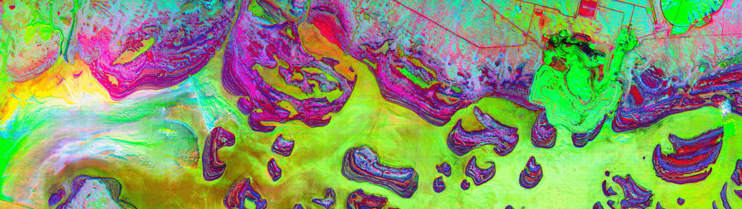
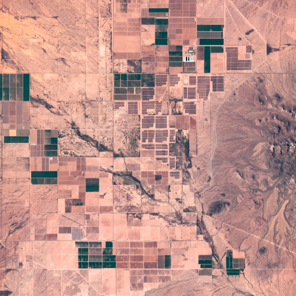
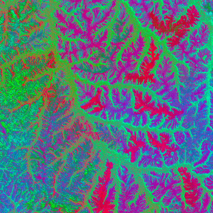
With more than ten times the precision and detail of other remote sensors, our high-resolution hyperspectral sensors reveal critical hidden information about the planet, monitor environmental changes in near-real time, and transform the way organizations respond.
That’s why we’re focused on making the highest-quality data available to as many people as possible. When we increase access to this powerful tool, we empower widespread stewardship of our home.
Expanding our view
Our growing, 5-satellite constellation delivers a steady stream of insight-rich data
We’ve imaged 4.9M square kilometres of Earth, and counting, through global tasking
The number of free hyperspectral images in our Open Data program increases each month

meet the team behind the mission


Our advisors


Help us build a better earth from space
We’re looking for passionate, dedicated individuals to join us on our mission.