See the full spectrum
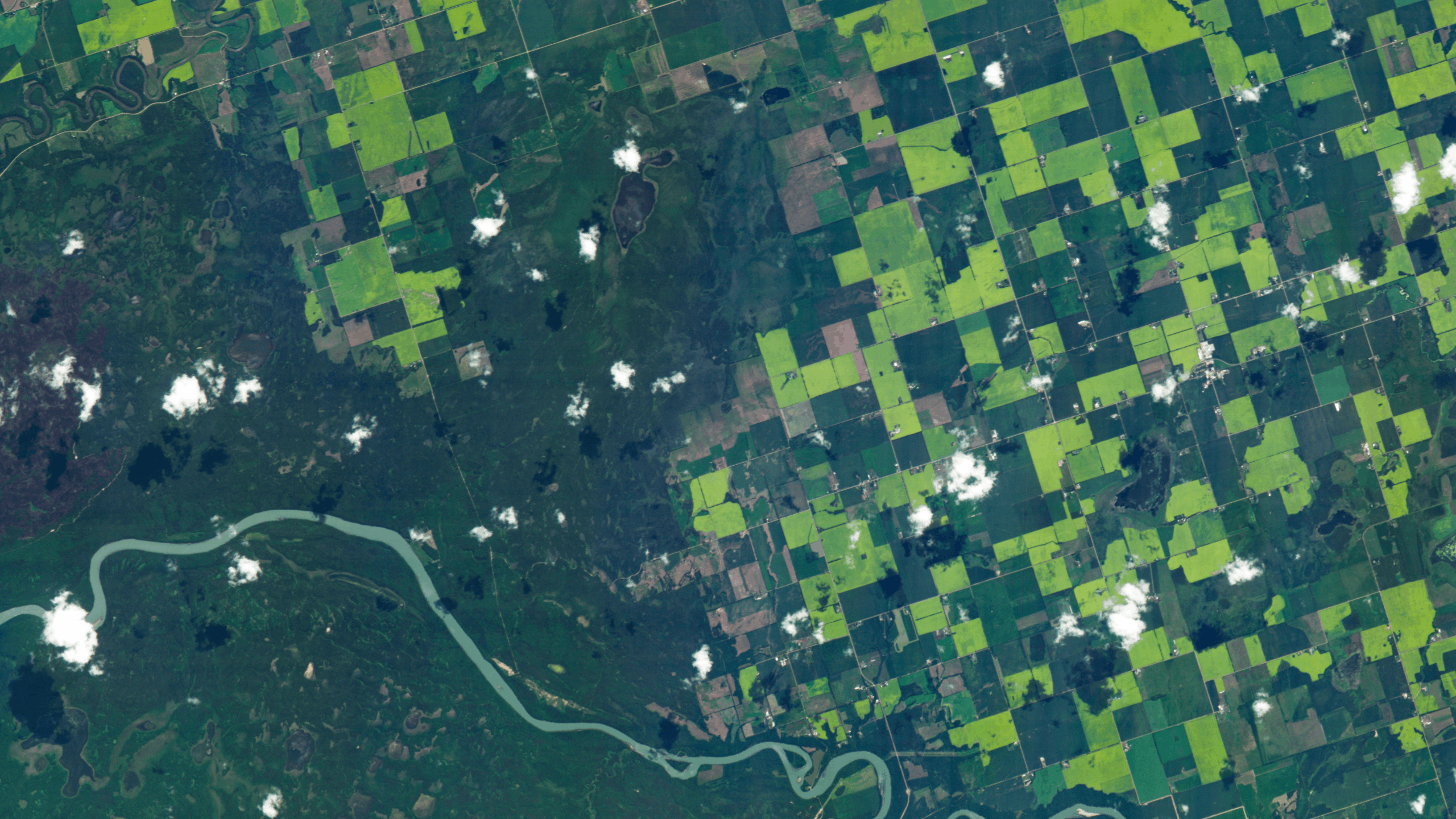
Hyperspectral imagery reveals the chemical and physical properties of the Earth’s surface in unprecedented detail.


Insights in
every pixel
Hyperspectral sensors capture material-level information and subtle environmental
changes that other sensors miss. Our exceptional imagery offers a true view of ground
conditions and greater confidence operating in complex, fast-changing environments.
We offer multiple ways to access our high-resolution hyperspectral imagery:
On-demand tasking
Hyperspectral imaging tailored to specific times and locations. Choose from standard and premium tasking for new imagery collection.
Assured capacity
Pre-reserved imaging capacity for high-priority and emergency areas of interest. Guarantee consistent, uninterrupted collection during competitive imaging seasons.
Archive library
A growing collection of historical hyperspectral imagery for testing, trend analysis, and model training. Order single images or subscribe—no tasking necessary.
Free open data
Free access to 100+ high-resolution images from our constellation. Test new applications, accelerate product development, and explore the potential of hyperspectral.
.png)
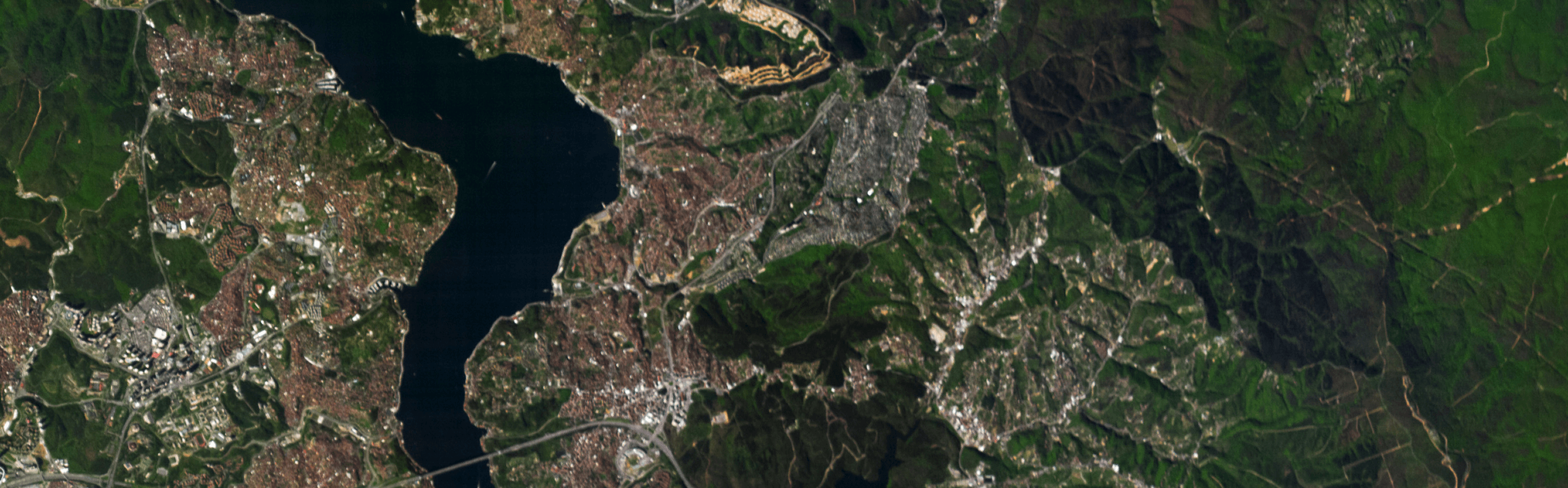
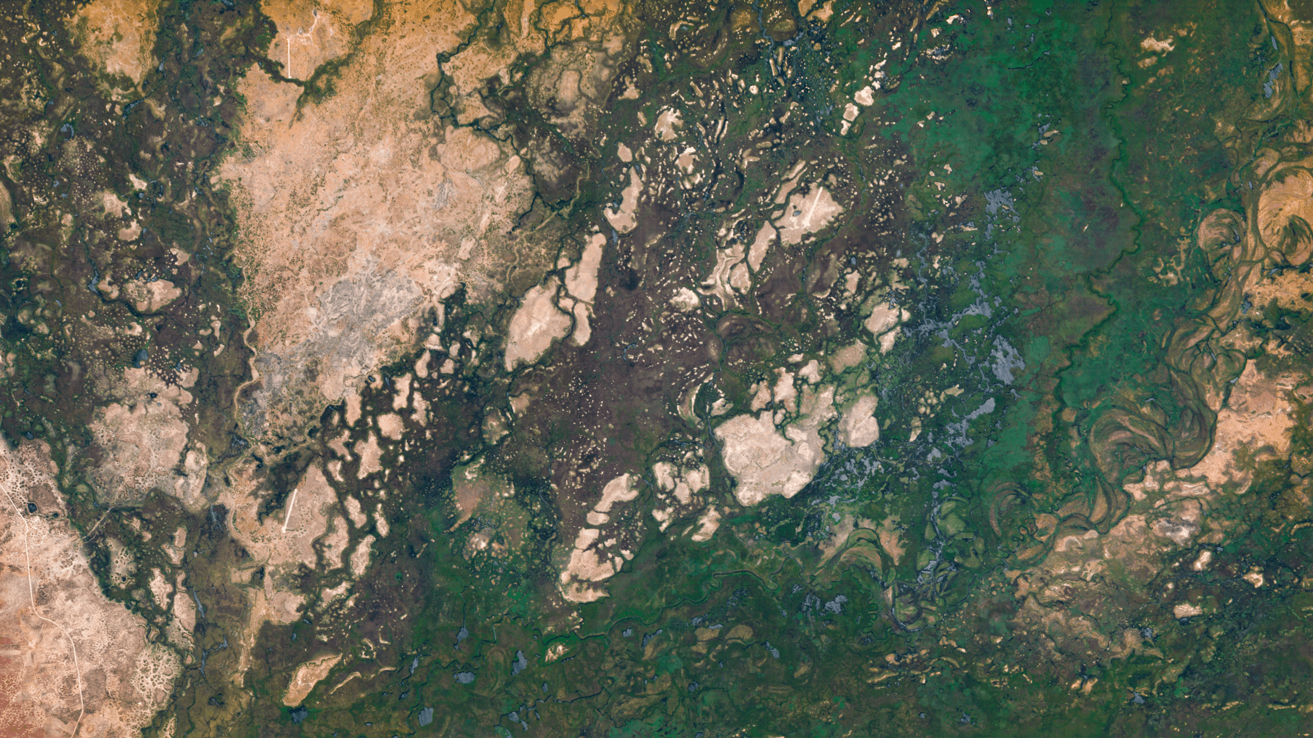
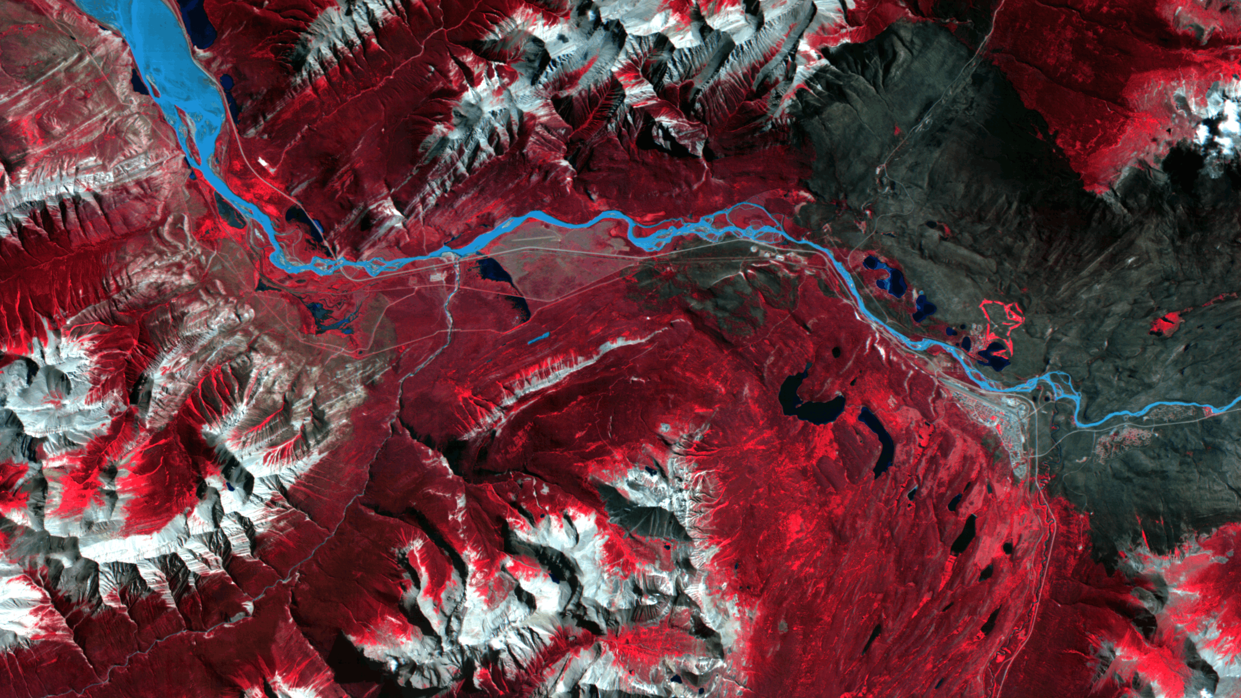
The difference is in the detail
Multispectral imagery only captures a few broad spectral bands—not enough to see the underlying chemistry of a target. Hyperspectral imagery shows you what matters.

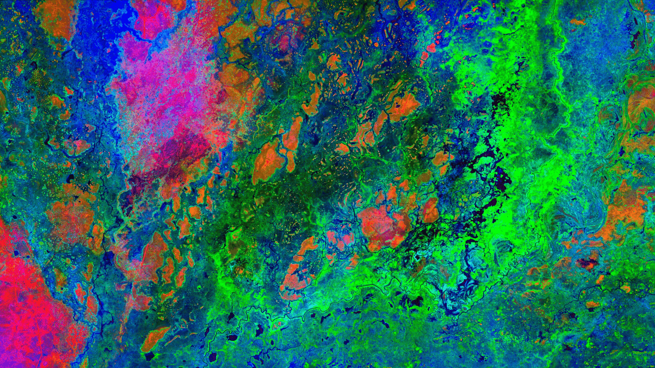
Precise material identification
Identify materials by composition, ensuring accuracy when it’s most important.
Earlier change
detection
Spot and mitigate potential risks before they have widespread impact.
Greater certainty, more confidence
Reduce the need for additional tasking by capturing more information per scene, lower validation costs, and act with confidence.
Decision-grade data
5.3 ground sampling distance at nadir
Up to 31 spectral bands in VNIR range
16-30 nm spectral resolution
Optimized signal-to-noise ratio

Designed for easy integration
Our industry leading hyperspectral satellite imagery is pre-processed and compatible with major GIS and ML tools for fast integration into your existing workflows.
Looking for insights? We deliver decision-ready analytics and reporting products through our partners.
Explore the possibilities
Our high-resolution hyperspectral imagery gives critical industries the clarity to make smarter, faster, more sustainable decisions.

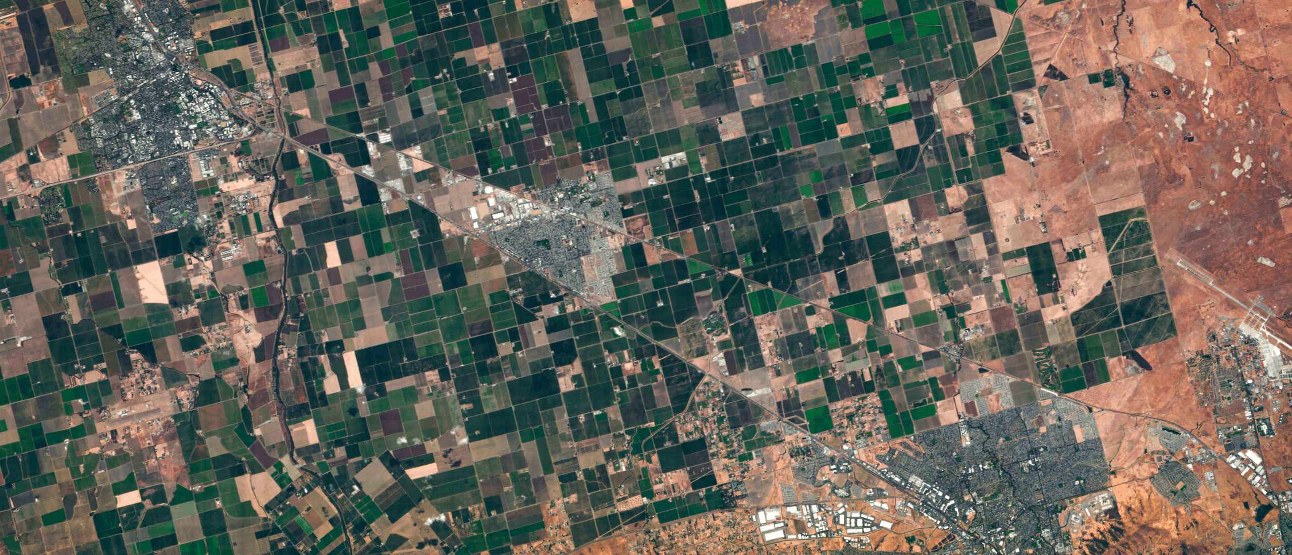
Agriculture
Classify crops with precision, detect disease early, and accurately forecast yields.

Peace and security
Enhance detection, identification, and monitoring in complex environments.

Forestry and ESG
Map species, monitor forest health, and stop threats before they become widespread.

Energy
Rapidly map and analyze resources, reduce infrastructure downtime, and speed remediation.

Mining
Reduce costs and improve safety from early exploration to post‑closure rehabilitation.


Get the hyperspectral advantage