Elevating earth observation
Our team is reimagining the hyperspectral satellite, taking precision, clarity, and speed to new heights.
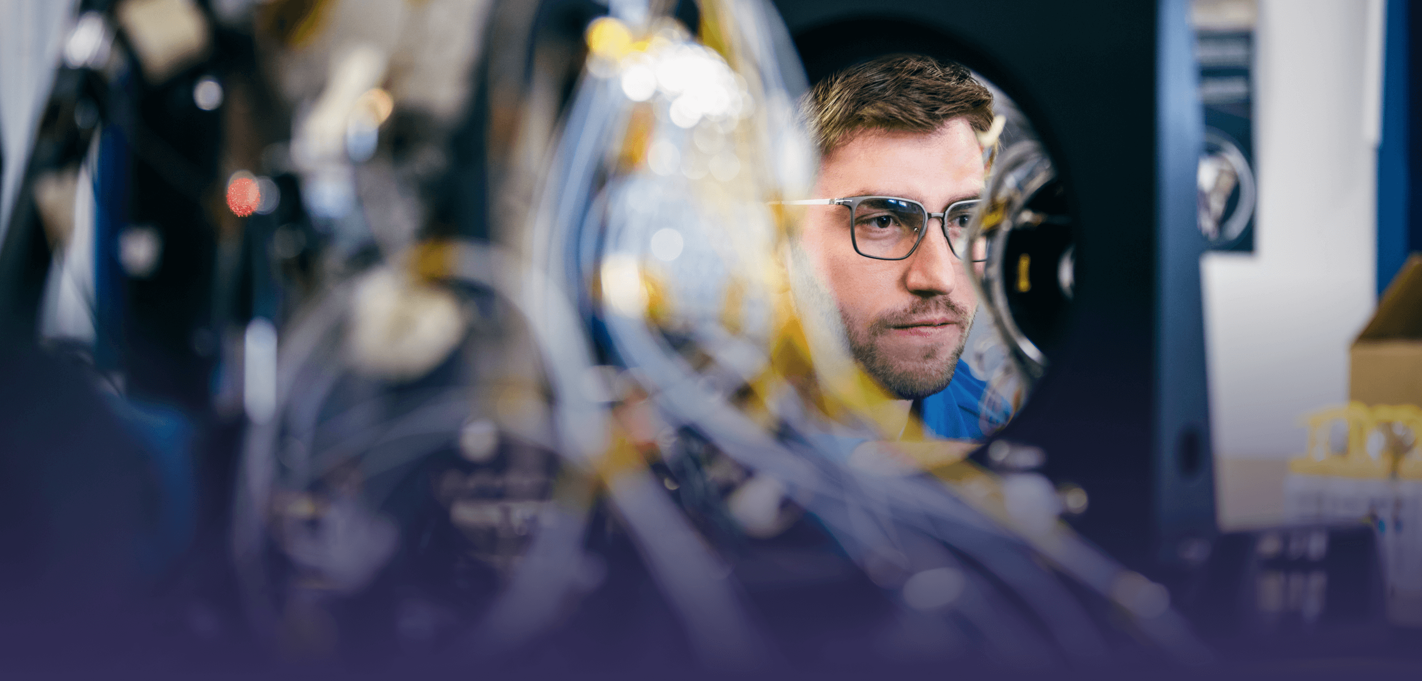
Engineering Exceptional Data
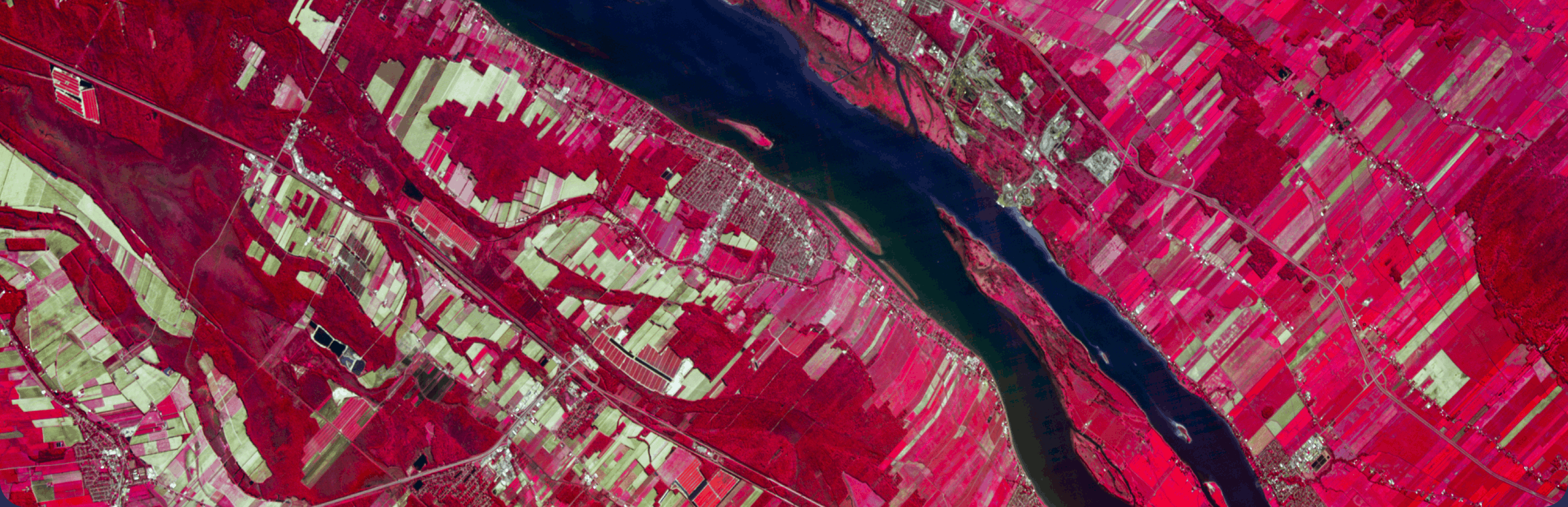
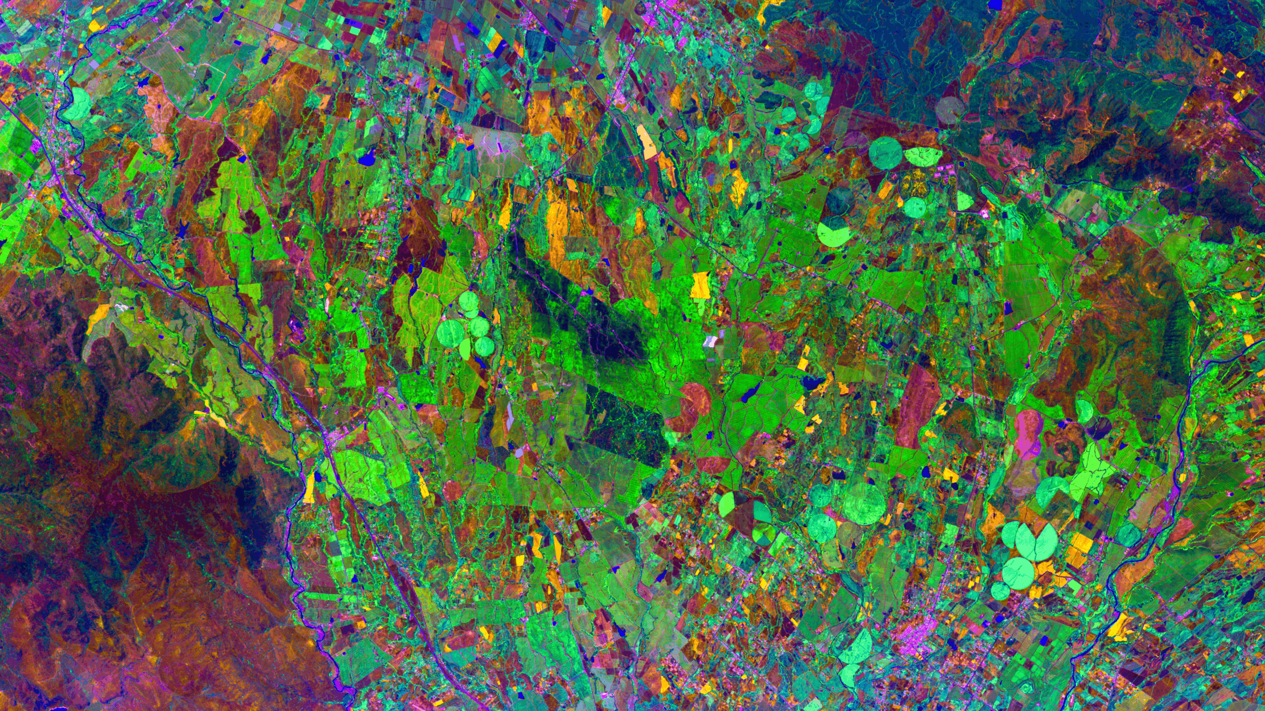
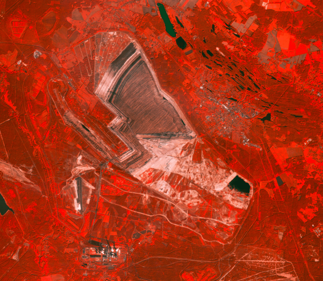
Our first-generation hyperspectral satellites, Dragonette, capture high-resolution hyperspectral imagery across 31 bands in the VNIR spectrum at 5.3-metre ground sampling distance.
Processed to Levels 1B and 2A, and delivered as GeoTIFFs with STAC-compliant metadata, our data integrates seamlessly into your existing systems and workflows.
Geolocation accuracy
Less than 10 m CE90 over flat terrain keep maps and change analyses precise and reliable.
Stability
Our constellation delivers highly consistent measurements over time, so trends reflect real change.
Calibration
Research-grade calibration and atmospheric correction ensure accurate measurement across datasets.
ESA EDAP+
Program
Our data quality meets the European Space Agency’s Best Practice Guidelines and EO Mission Data Quality Assessment Framework.
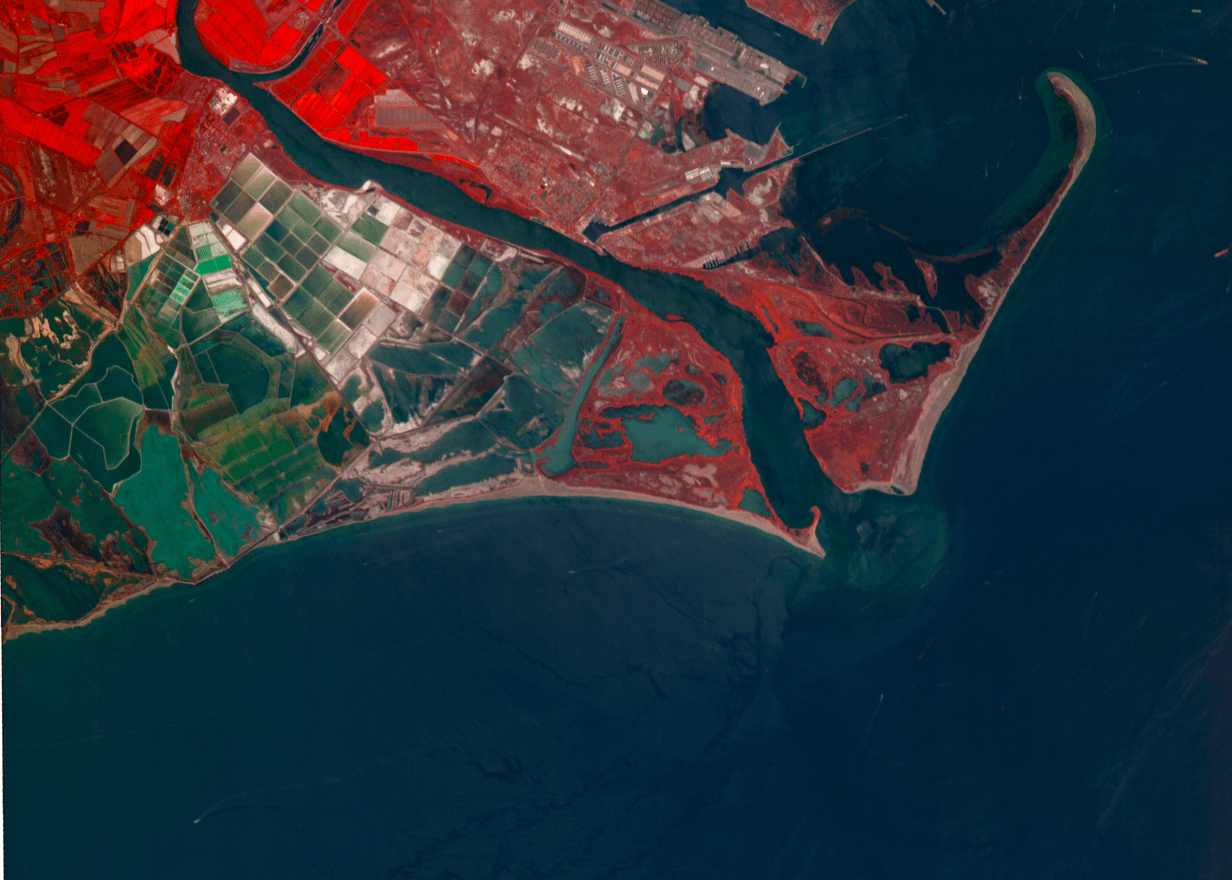
Our constellation
Our Dragonette constellation delivers high-resolution data that’s driving new and novel approaches to challenges in critical industries. With each launch, we expand our capabilities, deepen our insights, and help more teams shape a better earth, from space.
Dragonette 001-003
D1 April 2023
D2 June 2023
D3 November 2023
D1 SpaceX Transporter 7
D2 SpaceX Transporter 8
D2 SpaceX Transporter 9
6U CubeSat (EPICHyper)
Built by AAC Clyde Space
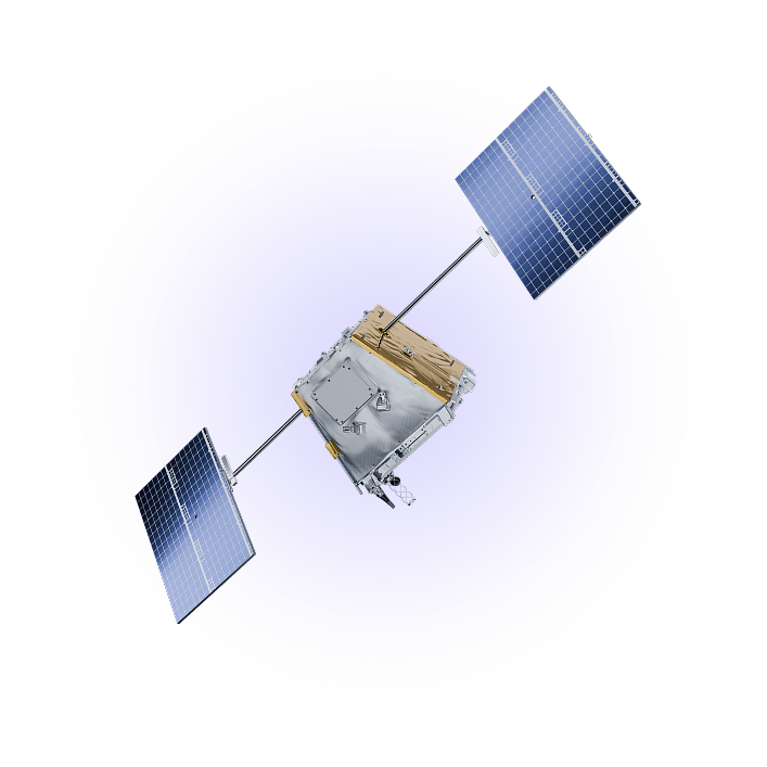
Dragonette 004-006
D4 March 2025
D5 November 2025
D6 Coming 2026
D4 SpaceX Transporter 13
D5 SpaceX Transporter 15
Small satellite (YAM satellite bus)
Built by Loft Orbital

What’s Next: Rosette
Our next-generation Rosette satellites are in development and set to deliver major advances in resolution, spectral range, and data capacity.
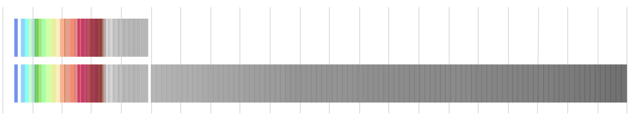
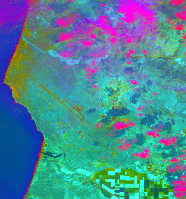
SWIR imaging
SWIR can see even more material absorption features, detecting hydrocarbons, polymers, and minerals—even through obscurants like cloud, smoke, and haze."
110+ spectral bands
Dramatically higher resolution enables superior material identification and chemical analysis, plus earlier stress and contaminant detection.
High spatial details
Better spatial resolution reduces mixed pixels and improves identification of fine features for highly accurate classification, mapping, and analysis.
Rapid data delivery
20 to 100 times the downlink volume of previous generations means faster access to larger quantities of high-quality data.
SWIR imaging offers a powerful advantage. Book a call to learn more.
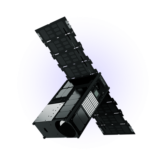
The future is unfolding
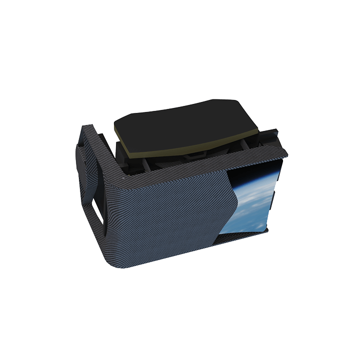
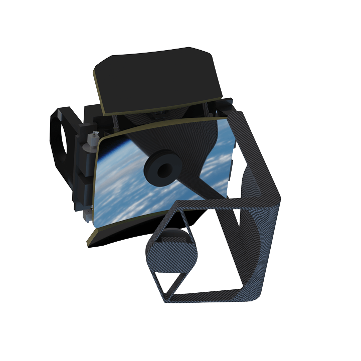
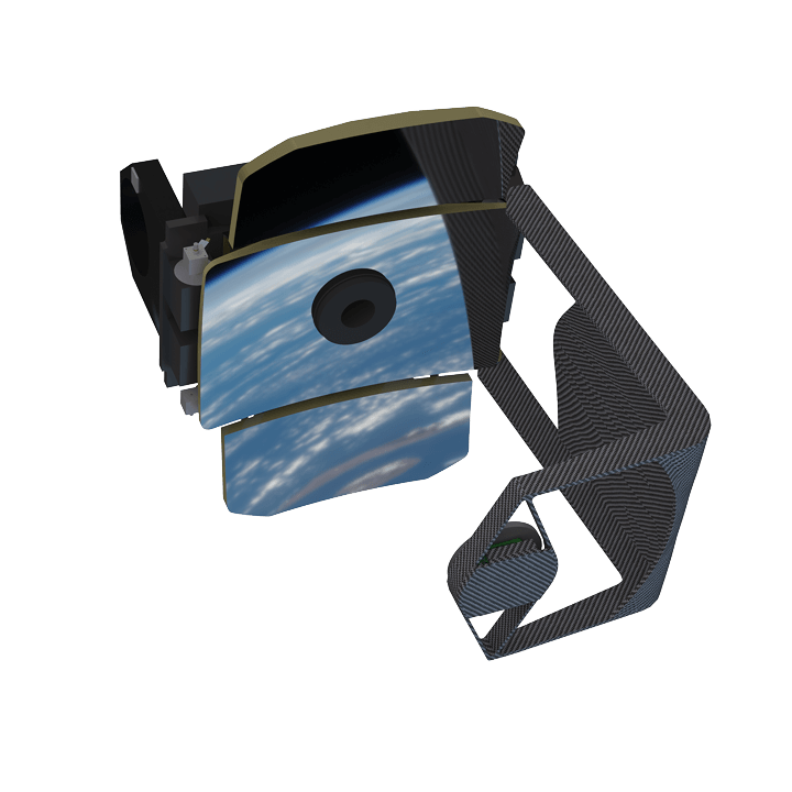
We’re actively building our own deployable optics to obtain the best imagery possible as efficiently as possible.
Deployable optics fold compactly for launch and only deploy once they’re in orbit. These unfolding satellites can accommodate a much larger aperture, packing better performance and higher resolution in a smaller, easier-to-launch package.
Trusted worldwide
A proudly Canadian space company, we carry on a legacy of integrity and steady partnership—and we operate under strict Canadian data regulations.
Organizations depend on us and our constellation for stable, secure data everywhere they operate.
Start using
hyperspectral imagery