Instructions
To make this component work follow these steps:
  1. Remove the delete-this-class class from the navbar14_component div. This will change the positioning of the navbar to fixed.
  2. Add the navbar-on-page class to the page-wrapper class. This will ensure that the navbar is centered on the page.
  3. Add the max-width-full class to the main-wrapper class. This will ensure all sections inside of the main wrapper are full-wdith.
Products
Hyperspectral imagery
Archive
Open Data
Technology
Industries
AgriculturePeace and securityForestry and ESGEnergyMining
Company
About usJoin us
Resources
Resource libraryKnowledge centre
Knowledge Centre
Product Guide
Open Data
Product guideOpen data
Partners
Contact Us
Order imagery
Energy

Data-driven site management

Proactively manage pipelines, emissions, and environmental risk with early threat detection and continuous oversight of your infrastructure.

Talk to sales
Access the data

Reveal hidden
liabilities

Uncover important material context using spectral signatures, to eliminate surprises and streamline well-closure planning.

Identify risks early in the reclamation process

Get detailed information about wellsites and ancillary disturbance areas without a single site visit.

Optimize environmental site assessments

Identify potential surface and water contamination, residues, and vegetation disturbances remotely, reducing assessment time and cost.

Reducing in-person field work

We’re improving reclamation and remediation programs in the oil and gas industry. Our hyperspectral imagery provides detailed information about the health of land surrounding well sites, without the need for regular visits.

No more need for extensive in-person monitoring

Increased safety for workers

Lower program costs

Faster rehabilitation efforts

Improved regulatory compliance

Learn more
Applications

Real-life solutions

Hyperspectral imagery complements site and airborne inspections with consistent, scalable monitoring.

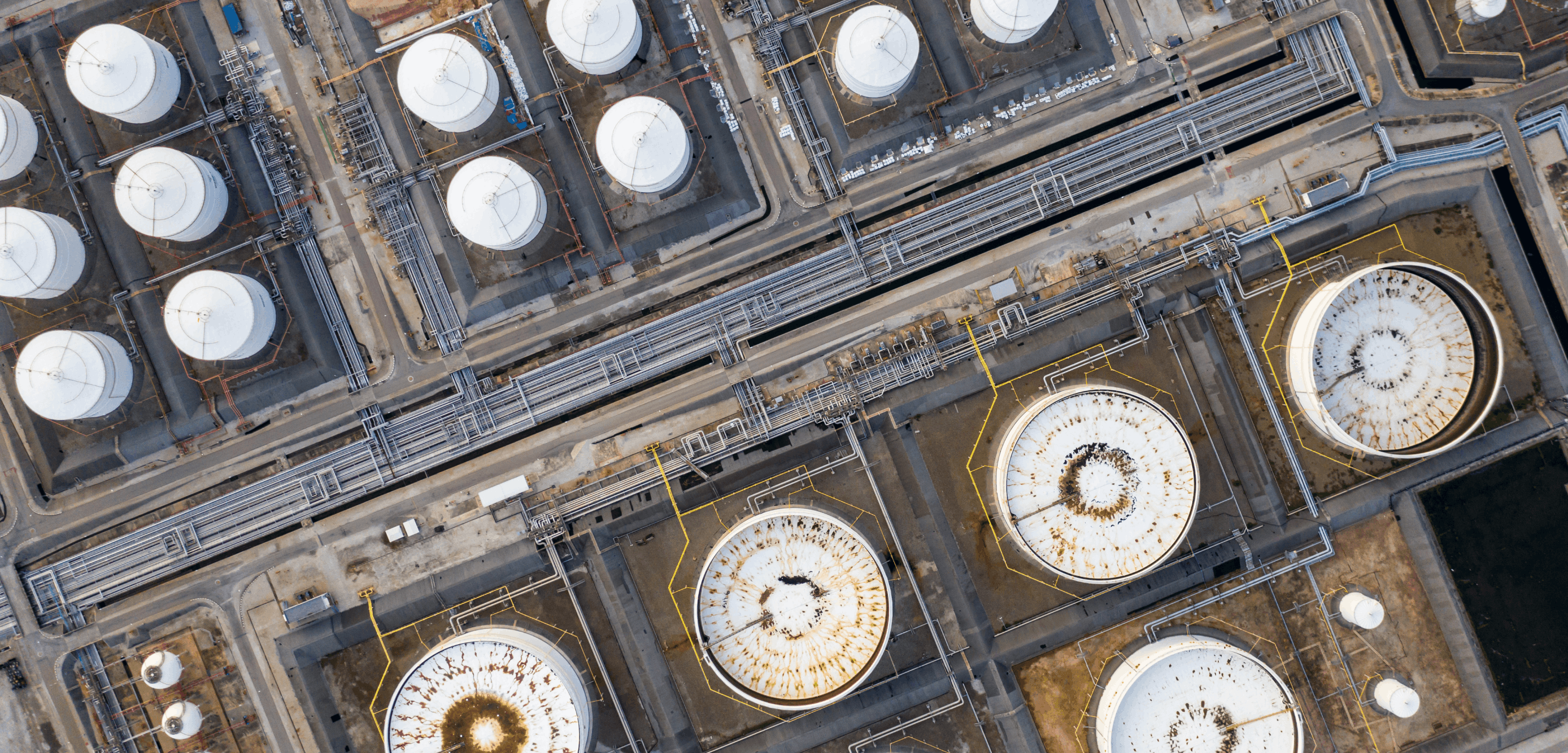
Asset + infrastructure monitoring

Monitor vegetation health and surface composition around assets to minimize downtime.

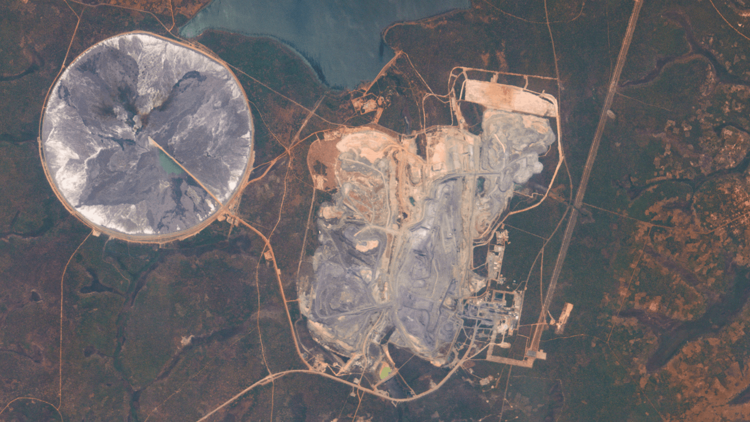
Soil + surface material classification

Accurately assess ground conditions to ensure safety, stability, and longevity.

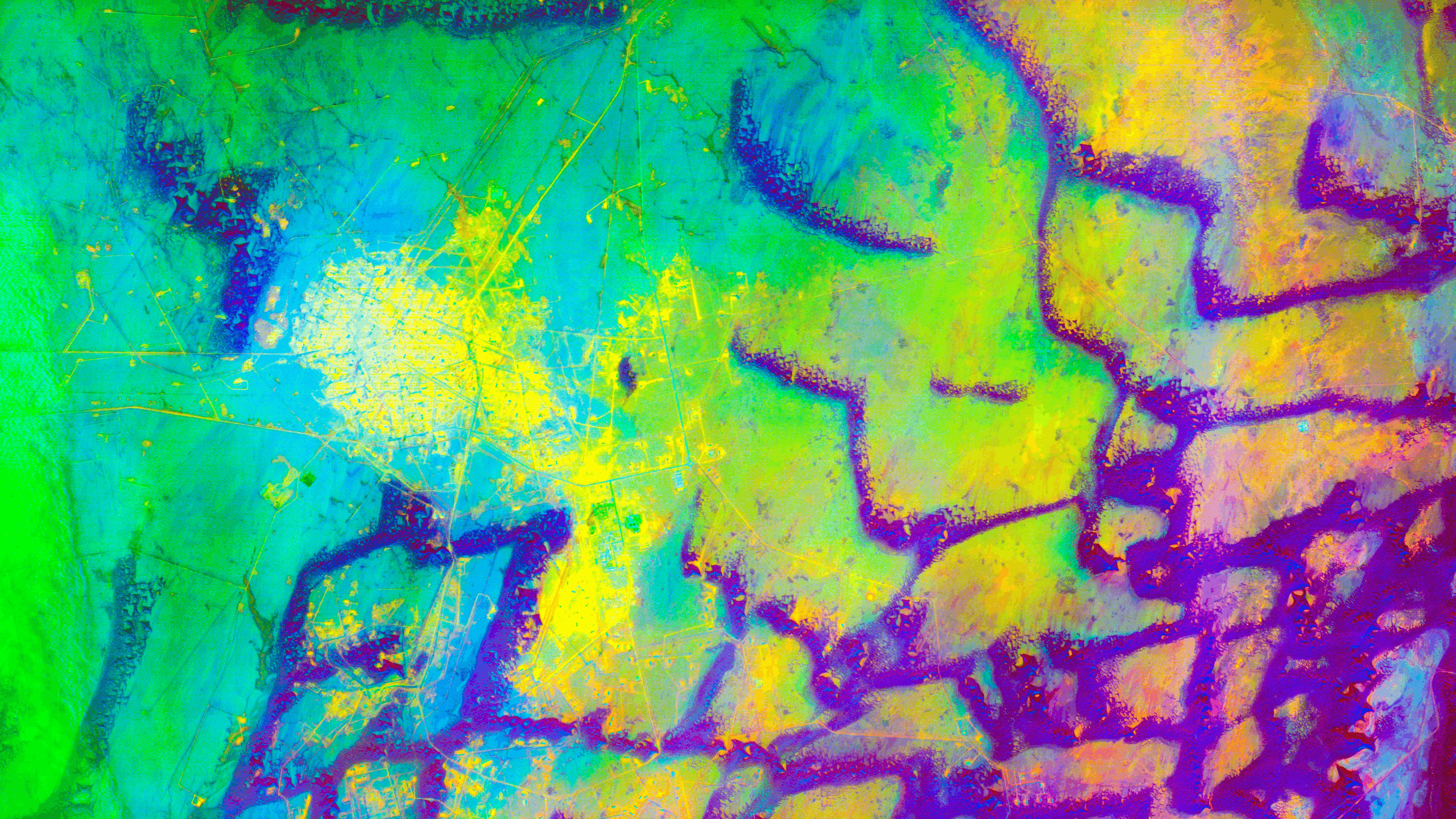
Precise environmental monitoring

Detect subtle environmental change early, before it impacts surrounding ecosystems.

Regulatory + ESG compliance

Generate verifiable data for stringent and transparent ESG reporting.

Encroachment monitoring

Identify and mitigate third-party risks sooner to improve site safety and reliability.

Effective leak prevention

Identify sub-surface leaks quickly with continuous monitoring of surrounding vegetation.

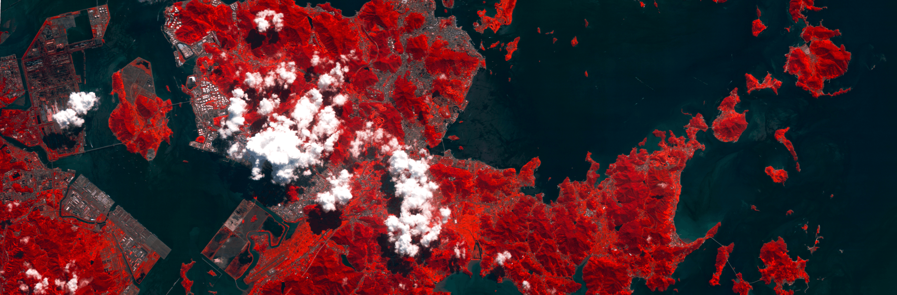
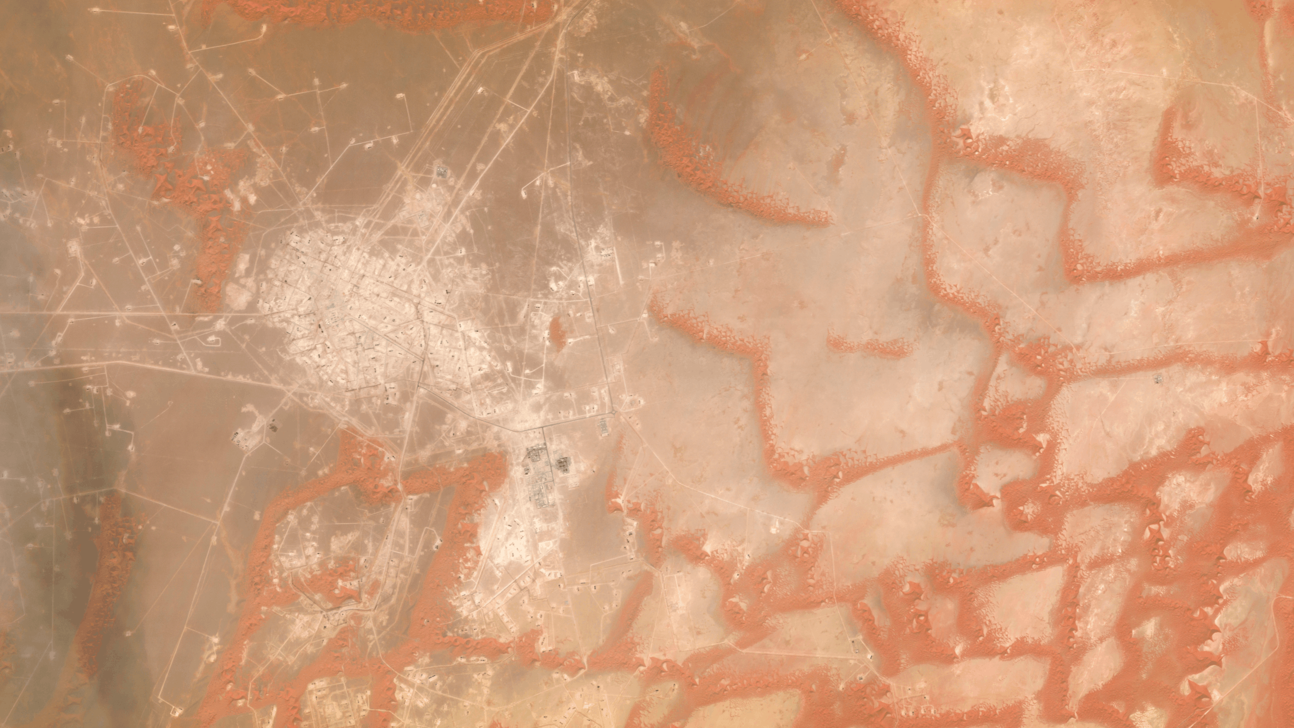
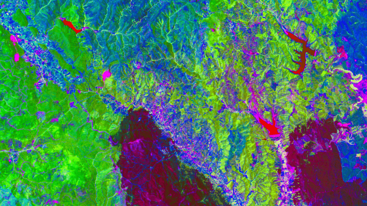
The hyperspectral advantage

Hyperspectral satellites complement other monitoring approaches with repeatable, site-wide identification of materials and conditions. Spectral intelligence enables early detection of environmental and infrastructure-related changes, and reduces reliance on frequent site visits.

Hyperspectral
RGB
Hyperspectral satellite
Drone/aircraft
Field inspections
Spatial coverage
Continuous coverage across large or linear assets
Moderate coverage, limited by logistics
Localized, discontinuous coverage
Operational burden
Centralized tasking with minimal field logistics
Mobilization, weather, staffing, permitting
High labor, safety, and access constraints
Early condition detection
Detects subtle surface and vegetation stress earlier and more consistently
Good local detail, sporadic monitoring
Often reactive or scheduled
Repeatability and consistency
Consistent intelligence across regions and time
Variable by provider and campaign
Variable by crew and timing
Cost scaling
Predictable cost across large footprints
Cost scales with distance and repetition
Cost scales consistently with area and frequency
Spatial coverage
Hyperspectral satellite

Continuous coverage across large or linear assets

Drone/aircraft

Moderate coverage, limited by logistics

Field inspections

Localized, discontinuous coverage

Operational burden
Hyperspectral satellite

Centralized tasking with minimal field logistics

Drone/aircraft

Mobilization, weather, staffing, permitting

Field inspections

High labor, safety, and access constraints

Early condition detection
Hyperspectral satellite

Detects subtle surface and vegetation stress earlier and more consistently

Drone/aircraft

Good local detail, sporadic monitoring

Field inspections

Often reactive or scheduled

Repeatability and consistency
Hyperspectral satellite

Consistent intelligence across regions and time

Drone/aircraft

Variable by provider and campaign

Field inspections

Variable by crew and timing

Cost scaling
Hyperspectral satellite

Predictable cost across large footprints

Drone/aircraft

Cost scales with distance and repetition

Field inspections

Cost scales consistently with area and frequency

Frequently Asked Questions

Expand all
Collapse all
Who is this designed for?

Hyperspectral imagery supports energy operators, infrastructure owners, and monitoring providers managing large or distributed assets. This technology enables early threat detection and consistent monitoring of pipelines, transmission corridors, and production areas, reducing operational and compliance risk.

What problems does hyperspectral imagery solve for energy monitoring?

Hyperspectral imagery detects subtle environmental and surface condition changes across broad asset areas, often before they’e visible to the human eye. This continuous monitoring helps minimize infrastructure downtime and reduces reliance on reactive inspections.

How does this differ from drone or aircraft inspections?

Drones and aircraft provide high local detail, but inspections are periodic and operationally intensive. Hyperspectral satellite imagery complements these methods with repeatable, wide-area monitoring that scales efficiently—even across long linear assets and remote regions.

Does hyperspectral imagery replace field inspections?

No. Field inspections remain critical for validation and response. Hyperspectral imagery helps prioritize where and when field visits are needed, reducing unnecessary site access and improving inspection efficiency.

What kinds of energy applications is this suited for?

Common applications include pipeline and ROW monitoring, infrastructure encroachment detection, erosion and surface change monitoring, environmental compliance support, and early warning of asset-related issues.

How is the data accessed?

Wyvern imagery integrates with standard GIS and geospatial software and is accessible via APIs. For teams that prefer insights over data alone, we deliver decision-ready analytics and reporting products through our partners.

Resources

Related resources

View all

Blog title heading will go here

news
Sep 29, 2025

Blog title heading will go here

news
Sep 29, 2025

Blog title heading will go here

news
Sep 29, 2025

Blog title heading will go here

news
Sep 29, 2025

Blog title heading will go here

news
Sep 29, 2025

Blog title heading will go here

news
Sep 29, 2025

Dragonette-004: Hyperspectral intelligence from orbit

News
Nov 6, 2025

Dragonette-004: Hyperspectral intelligence from orbit

News
Nov 6, 2025

Wyvern and Nara Space partner to expand access to hyperspectral data across Asia

News
Sep 29, 2025

Wyvern and Nara Space partner to expand access to hyperspectral data across Asia

News
Sep 29, 2025

Celebrating Earth Day at Wyvern

Insights
Apr 22, 2025

Celebrating Earth Day at Wyvern

Insights
Apr 22, 2025
View all

Start using
hyperspectral imagery

Reduce inspection burden and detect environmental change early across large energy assets.
Book a call
Contact us
Products
Hyperspectral imageryArchiveOpen Data
Industries
AgriculturePeace and securityForestry and ESGEnergyMining
Company
Our technologyOur partnersAbout usJoin usContact us
Subscribe
Join our newsletter to stay up to date on all things Wyvern.
By subscribing you agree to with our Privacy Policy and provide consent to receive updates from our company.
Thank you! You are now subscribed!
Oops! Something went wrong while submitting the form.
© 2026 Wyvern Inc. All rights reserved.
Privacy Policy
We use cookies to enhance your experience.
Learn more
Accept