What We Learned Talking to Mining Operators About Reclamation

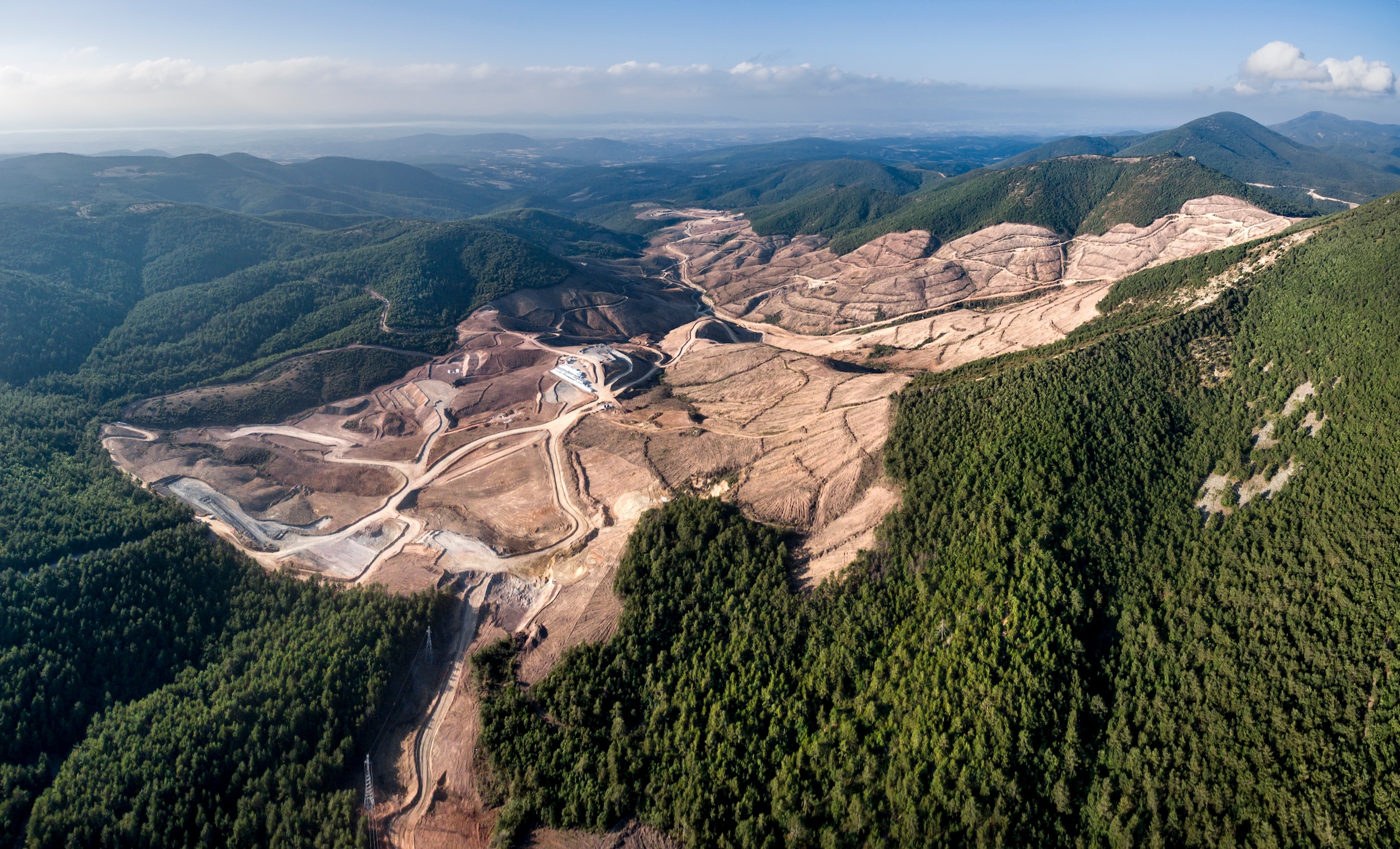
Mine sites go silent as the last piece of equipment is demobilized and the gates get locked. What comes next is the culmination of a mining operator's efforts: reshaping the land and restoring the ecosystem to secure a sustainable legacy for future generations.
Yet too often, that's not the reality. Some sites still leach acid into waterways, contain fragile revegetation that barely holds soil, or are left as vast scars in the Earth. Even responsible, well-intentioned operators can fail quietly: short-term stabilization measures erode, long-term monitoring misses the signals, or funding runs out before the recovery is complete.
Conversations with reclamation experts, regulators, and operators revealed recurring pain points: persistent information gaps on real environmental impacts, confusion interpreting compliance requirements, and the daunting challenges of financial assurances and liability management.
In my opinion, resolving this data problem is a fundamental building block for improving rehabilitation outcomes. How can you drive progress towards closure when initial baselines aren’t quantitatively defined, measurement of key metrics are not consistent or complete (sampling of traverses), and the cost to solve these challenges feel prohibitively high? It feels like we’re managing one of mining's most expensive and impactful phases with tools from a previous era.
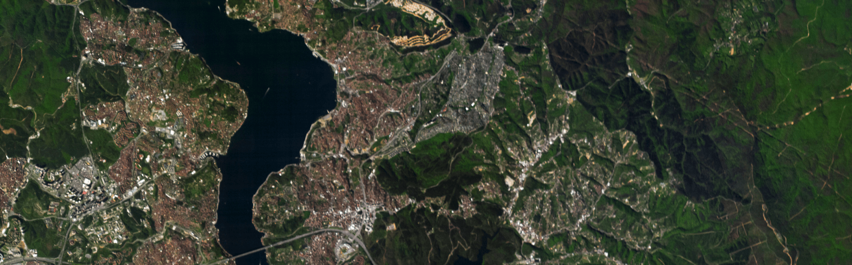
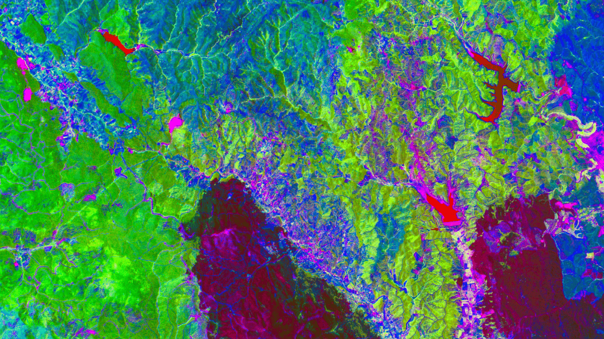
I think remote sensing is emerging as a game-changer to address this challenge. Satellite based imagery can offer a cost-effective method to collect quantitative information across vast spatial and temporal extents in a reproducible manner. This approach complements the traditional field surveys that are essential to establishing accurate ground truth data and nuanced on-site observations. Remote sensing offers guidance on areas of interest, helping prioritize where effort should be spent to optimize your resource allocation.
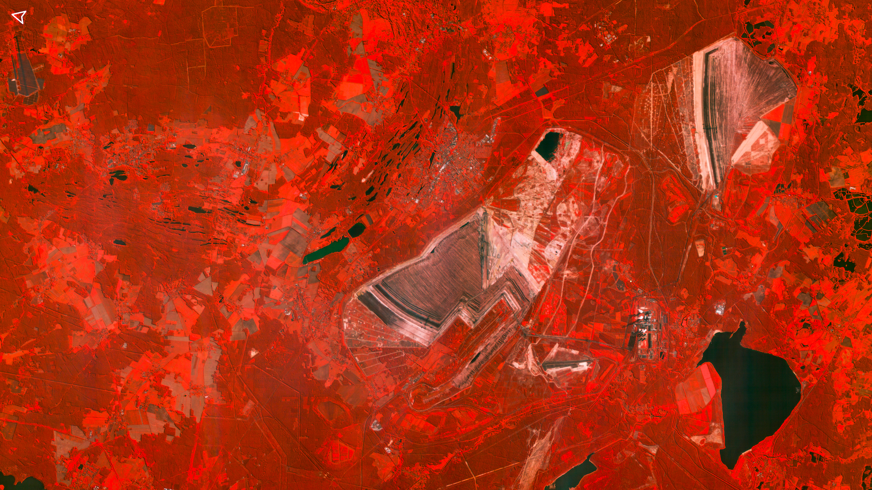
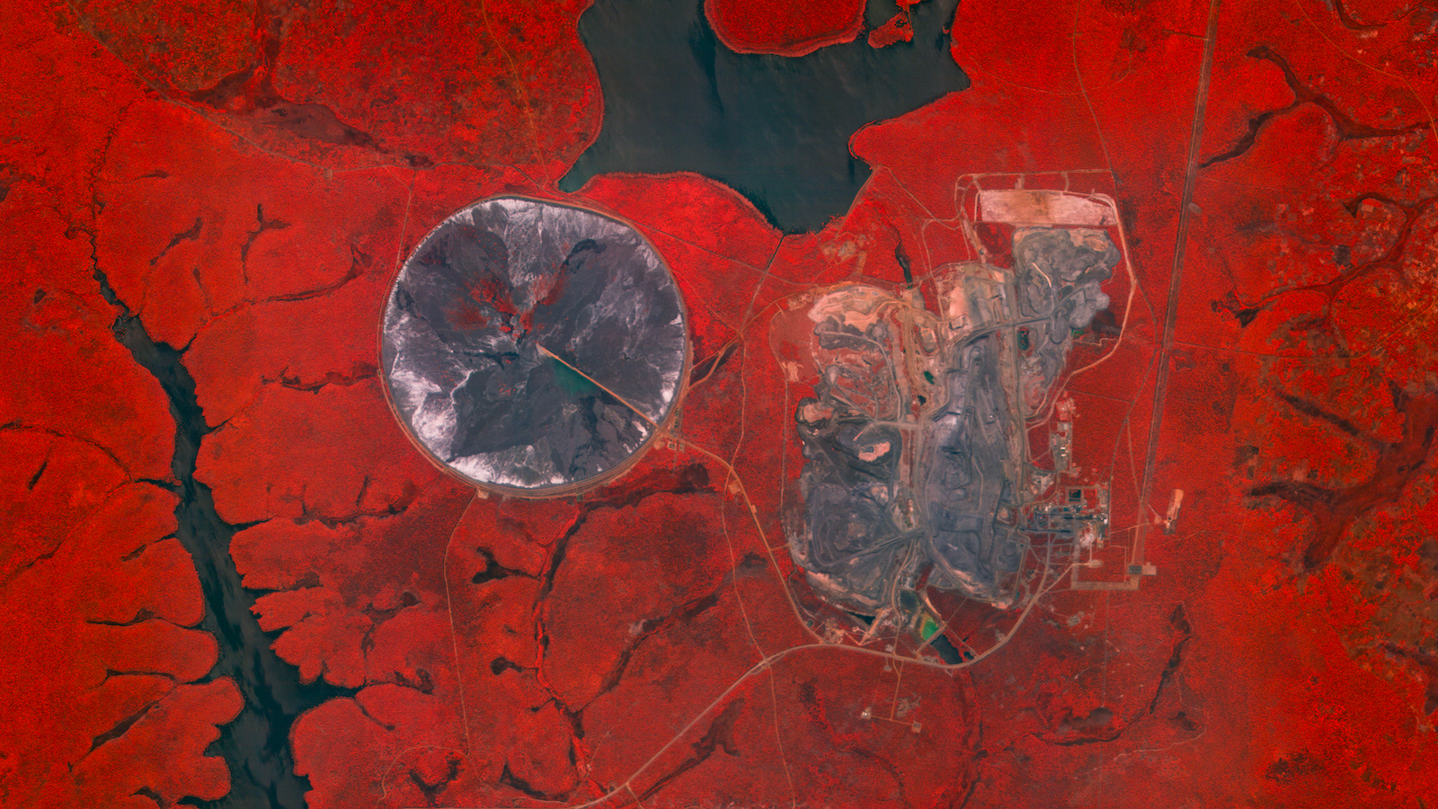
Wyvern’s hyperspectral remote sensing is a powerful tool that can support the entire mine reclamation lifecycle. By leveraging the spectral signatures, it enables advanced analytics including seasonal vegetation changes, tree speciation, water quality indicators, or soil quality indicators.
This capability enables:
- Establishing digital baselines of the site pre-disturbance or for analogous regional ecosystems, creating reliable pre-impact reference points for accurate comparisons.
- Setting quantitative targets with spatial context, then tracking progress through time-series analytics integrated with field sampling—delivering clear measurements of progressive reclamation.
- Assessing the remaining environmental liabilities, optimizing resource allocation and enabling more cost-effective closure planning.
- Facilitating adaptive management by detecting deficiencies early, allowing timely interventions to improve outcomes. This is particularly important in areas missed during conventional spot checks.
- Offering comprehensive visibility across the mine site and neighboring regions, constructing a holistic ecological narrative that captures broader impacts and recovery patterns.
- Supporting scalable, long-term monitoring during post-closure phases to verify sustained success and compliance.
In an industry under growing pressure for transparency, ESG accountability, and sustainable outcomes, Wyvern's data can unlock true digitization of the reclamation process. It simplifies storytelling to stakeholders and regulators alike—with clear, objective metrics, compelling visualizations, and data-driven insights that demonstrate real progress rather than just compliance checkboxes.
Curious about how Wyvern's hyperspectral data can assist in your reclamation or integrate with your monitoring workflows? Book a slot on my calendar.


Start using
hyperspectral imagery